Geodesy and Geomatics
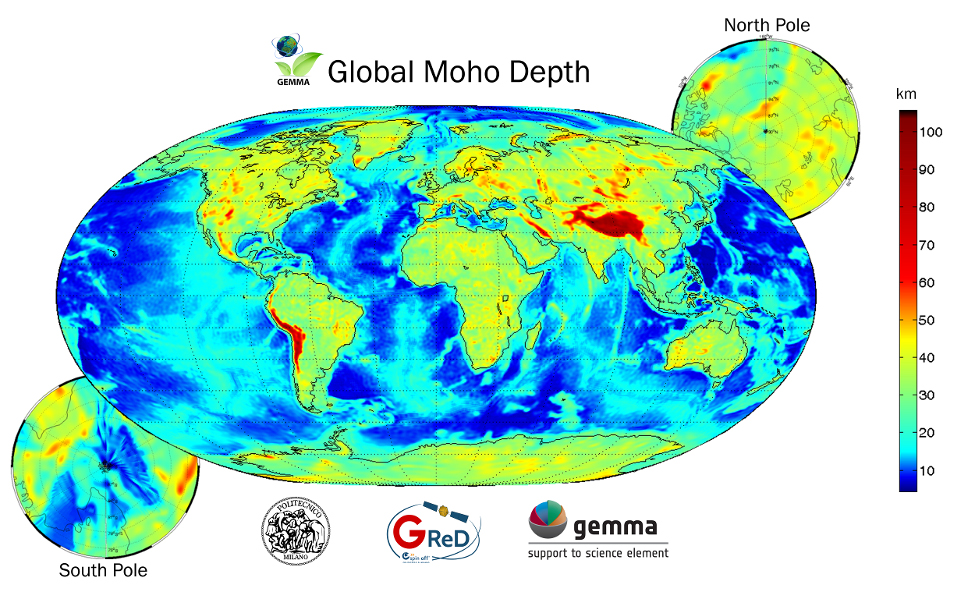
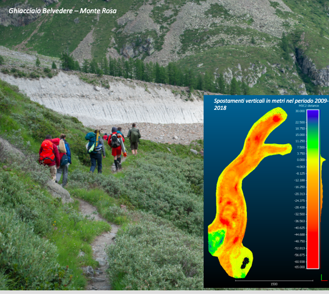
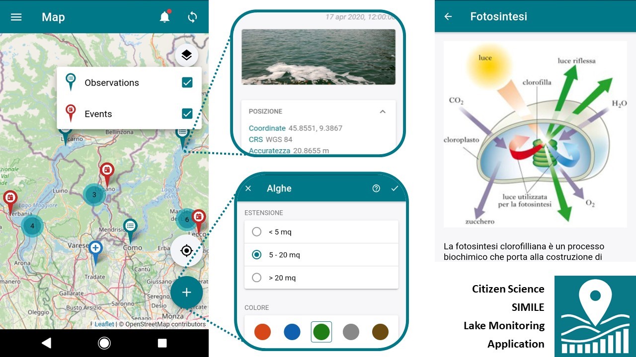
The activities of the Section contribute to the following research areas of the Department: “Natural systems, environment and spatial planning”, “Structures and infrastructures” and “Materials and materials mechanics”. All are consistent with the Integrated Strategic Plan of the Politecnico di Milano and aim at increasing their impact through high quality training and research (national and international), with particular attention to technology transfer and social responsibility. The “Geodesy and Geomatics” area is deeply rooted in the history of the Politecnico di Milano and has always promoted the advancement of its research, both nationally and internationally. As a result of developments in the field of electronics and information technology, the evolution of issues related to Earth Observation and data acquisition through air and satellite images has led to the establishment of a new frontier for this area, now known as Geomatics. The main lines of research include topics such as Physical Geodesy and Mathematics, survey methodologies based on Global Navigation Satellite Systems (GNSS), photogrammetric and remote sensing techniques, digital cartography, Geographic Information Systems (GIS) and Earth Observation. With regard to Geodesy Physics and Mathematics, ongoing research projects cover the main themes of these disciplines: the study of contour problems (BVP) and the estimation of the Earth’s gravitational field, both regionally and globally. These activities are also carried out within the International Service for Geoid (ISG), an official service of the International Association of Geodesy (IAG), based at the Politecnico di Milano. Research projects on GNSS surveying techniques are developed both at methodological and application level. Furthermore, original approaches for the analysis of GNSS data acquired with different operational procedures have been and are being studied. The activities in the field of Digital Photogrammetry are mainly focused on studies related to automatic image matching techniques, close range photogrammetry applications, image acquisition and analysis from UAS (Unmanned Aerial System). In the area of Digital Cartography and Geographic Information Systems (GIS) research projects are directed to the study of problems of standardization, interoperability, geostatistical analysis of spatial data and Geoservices for the Web, with particular attention to applications for mobile devices. In the field of Earth Observation, research is focused on the processing of drone and satellite images for environmental applications (precision agriculture, emergency management, meteorology, use and land cover maps). Research methods use classical algorithms and artificial intelligence algorithms integrating data from in-situ sensors and also data from crowdsourcing and Voluntary Geographic Information. All the activities of the Section share a common ground represented by stochastic data modeling and the use of stochastic prediction and inference methods. These fundamental aspects represent a common basis, leading to substantial contributions in both methodological approach and numerical applications. The Section is engaged in synergistic activities with other Sections of the Department and with other Departments of the Politecnico and can count on a wide and consolidated national and international network, which also brings important funding within competitive programs. The impact of the Section’s activities on society and the effectiveness of technology transfer are highlighted by the variety and high quality of the consulting and research activities developed with leading partners in the industrial and public sector. In some cases, technology transfer is also carried out through GReD s.r.l., a spin-off of the Politecnico di Milano that operates in the field of geomatics.
Coordinator
Research Group
Researchers
FWCI (2014-2018)
Research Structure
Publications by research area (2016-2020)
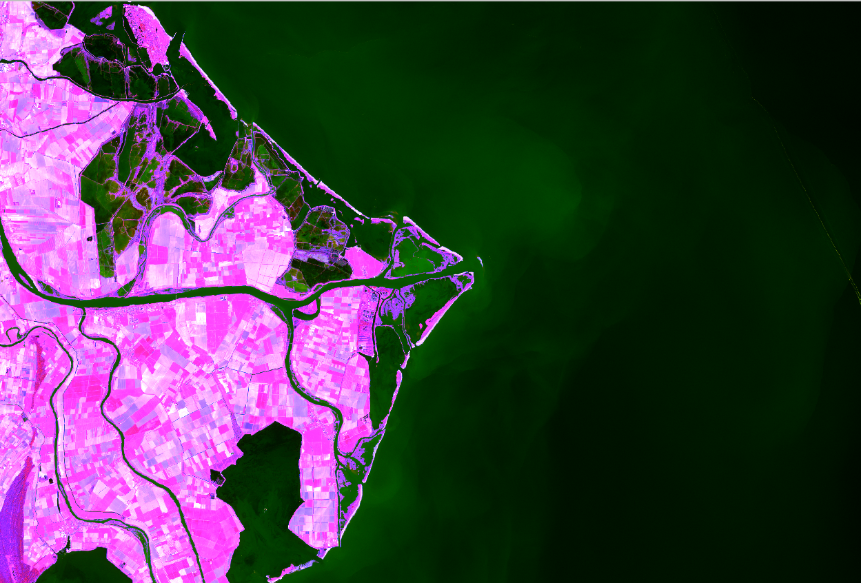
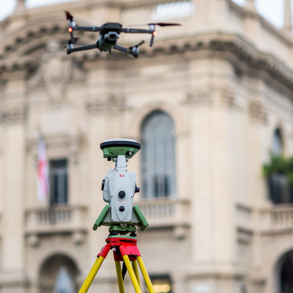
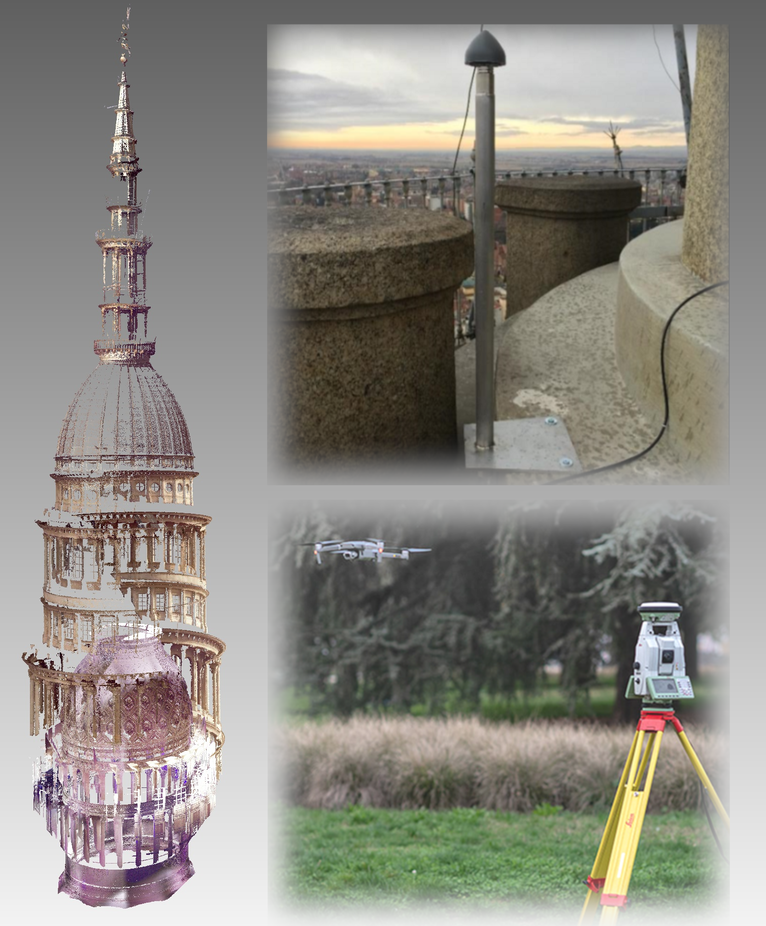
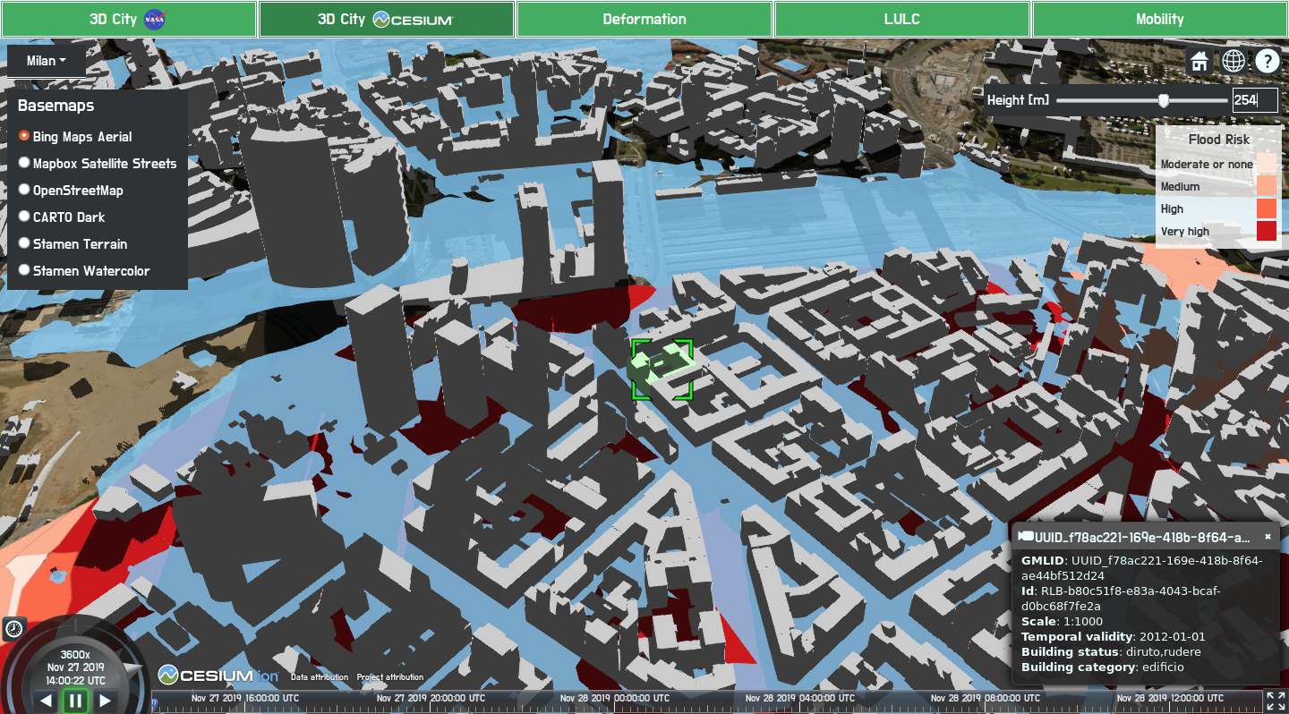
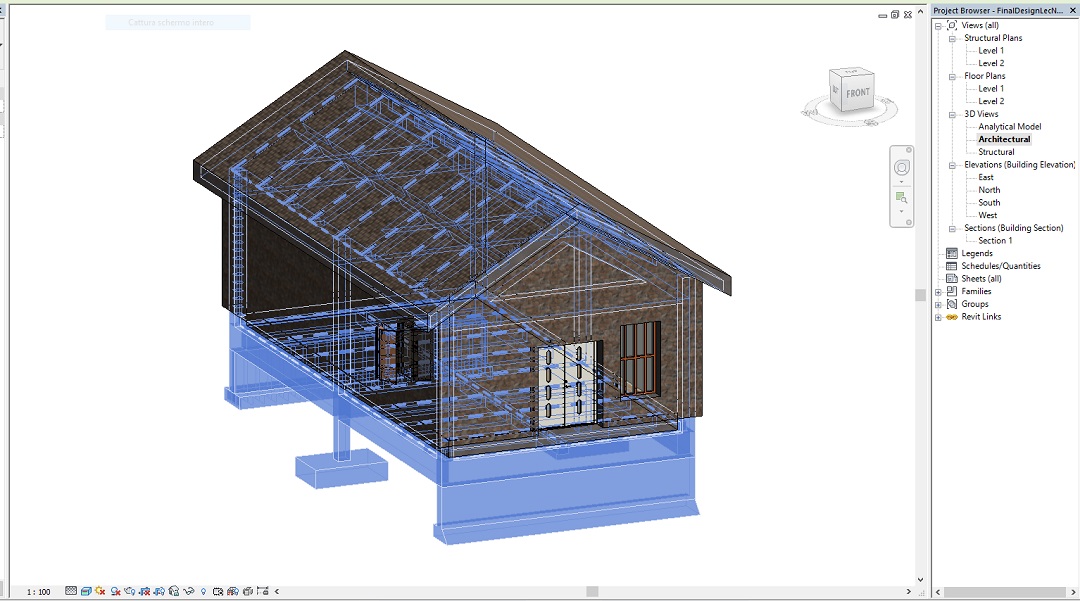
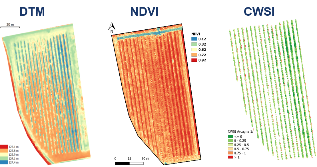
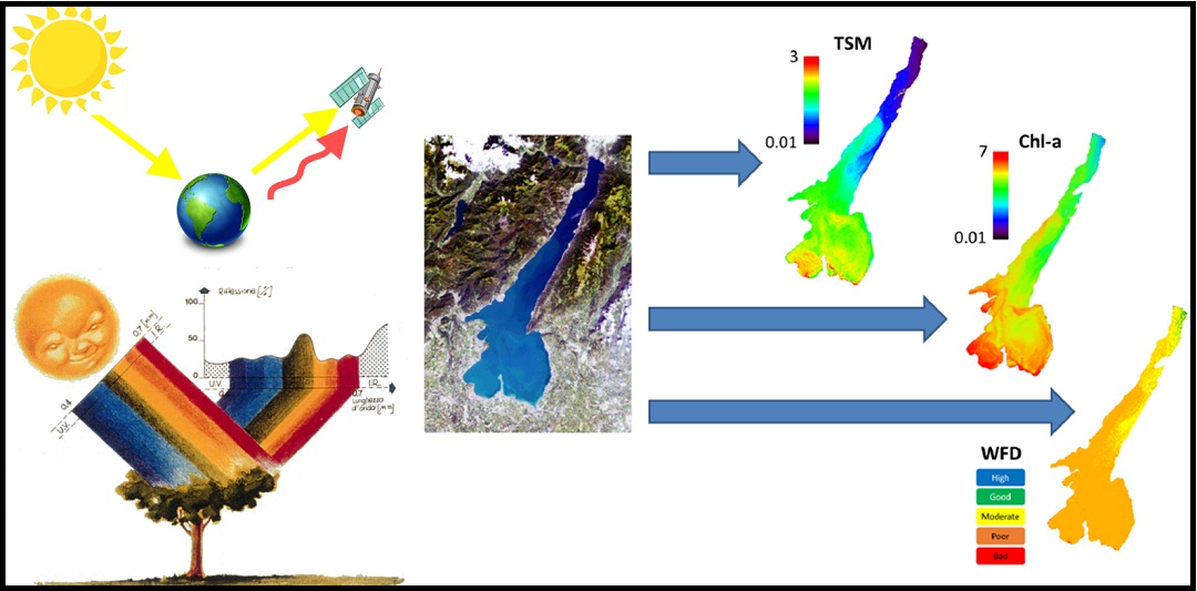
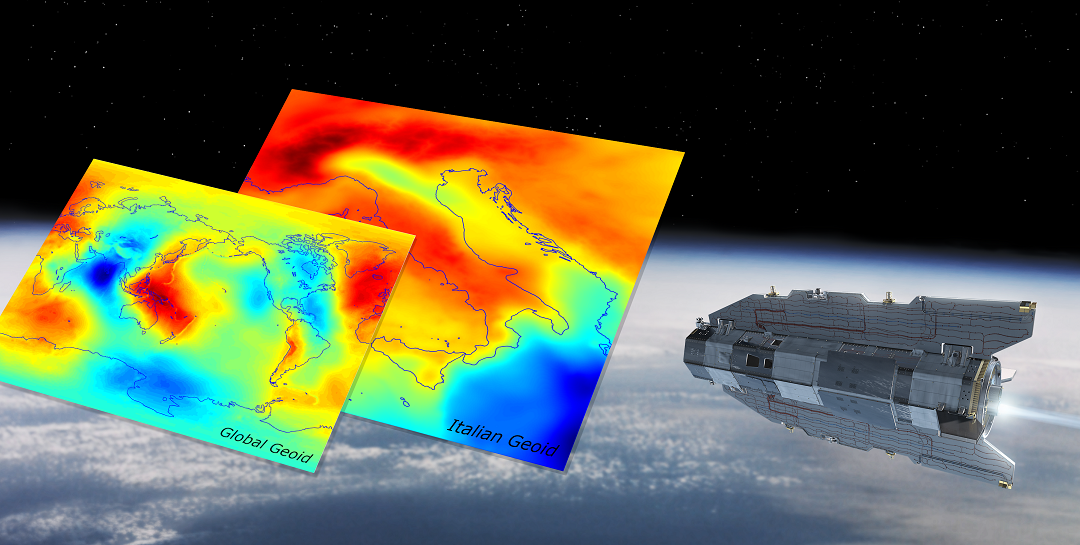
Section Gallery