Geomatics
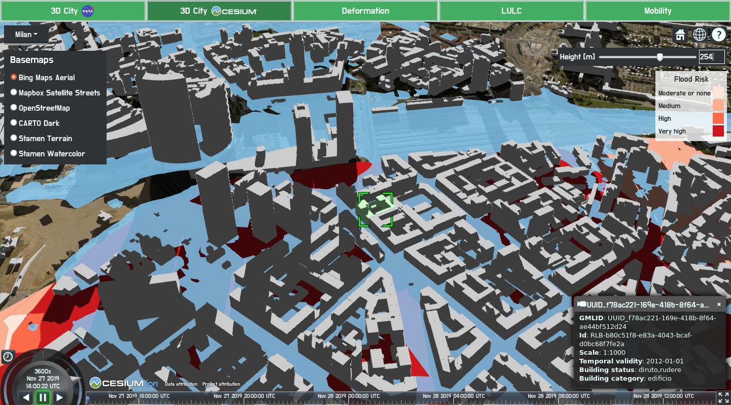
In particular, the research focuses on the treatment and integration of spatial reference data observations, both with classical (geo)statistical methods and with methods based on Artificial Intelligence. It deals with the acquisition and processing of data in Citizen Science and the management of Geo big-data. It also deals with the use of geospatial data for emergency management. A line of research is represented by Territorial Information Systems, as far as their design and implementation is concerned, both in the Desktop and on multidimensional geoWeb infrastructures and platforms. The management of geospatial data is also addressed to a level of detail of building or infrastructure, in BIM (Building Information Modeling).