Surveying, Monitoring and Land Modeling
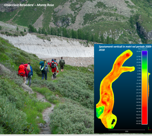
The research activities have as common denominator the observation of the territory (both natural and anthropic elements), for survey and monitoring purposes. In particular, the research takes the form of precision positioning carried out by in situ sensors (classic and satellite topographic instruments – GPS/GNSS) and by mobile platforms (drones, planes and satellites), according to the methods of Photogrammetry and Computer Vision. Also in this field, further lines of research concern urban, outdoor and indoor navigation; the use of GPS/GNSS for meteorological purposes; precision agriculture with classification from multispectral and thermal images; calibration of sensors and validation of results with geostatistical methods.

