Geodetic and Photogrammetric Measurements Laboratory
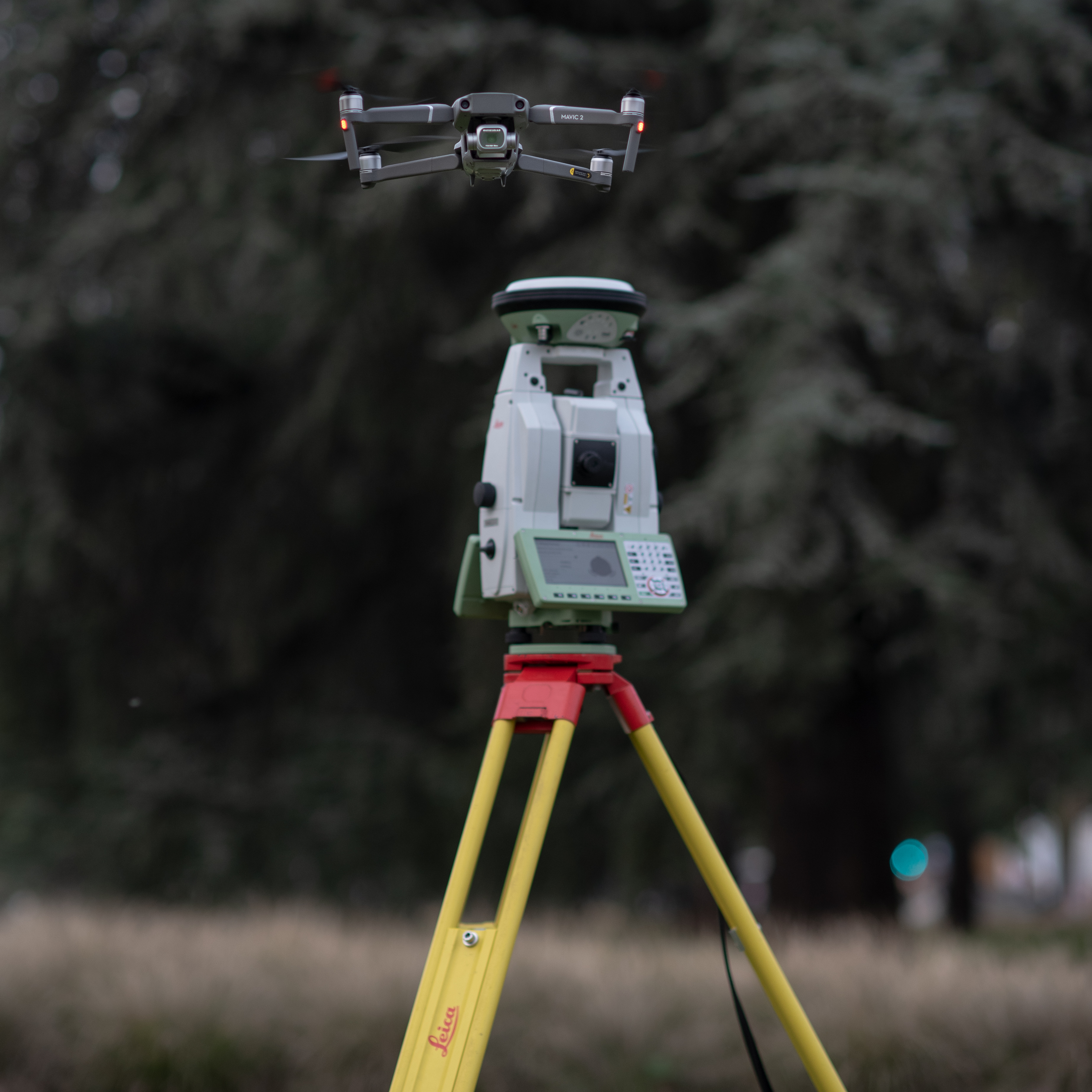
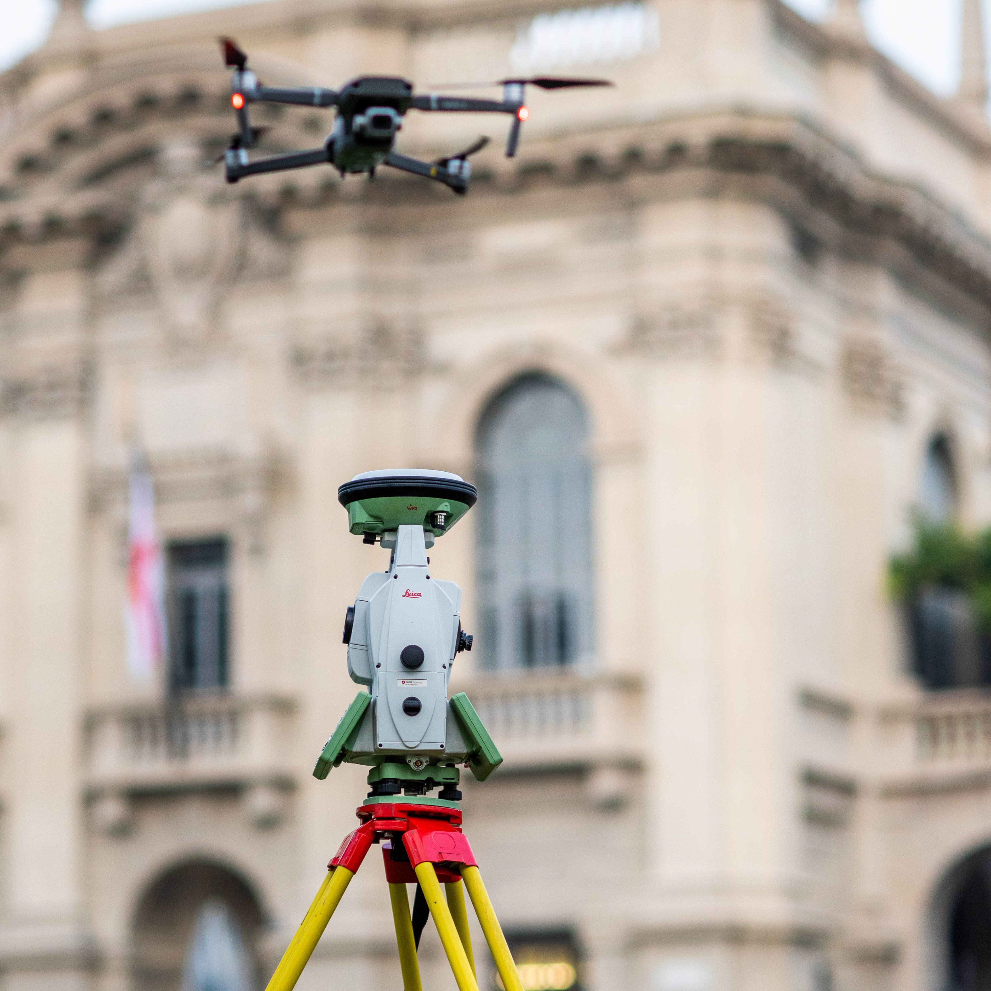
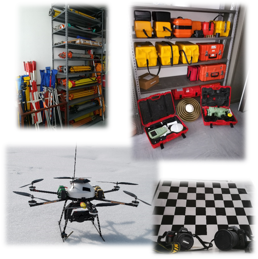
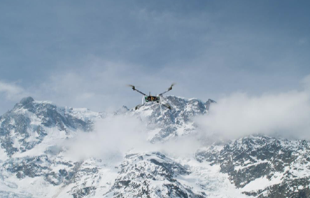
The main topics covered by the laboratory are: high-precision static and kinematic positioning with classic topographic instrumentation, GPS/GNSS satellite instrumentation and RGB/RGB-D cameras; monitoring of structures and infrastructures, territory and crustal deformations using GPS/GNSS systems and photogrammetric techniques; three-dimensional modelling and cartographic/thematic representation of objects, structures and infrastructures, soil, vegetation and territory using RGB/NIR cameras mounted on different platforms, including UAVs; design, development and ongoing testing of topographic databases and, in general, of spatial information systems.
Scientific supervisor:
Laboratory Gallery