- This event has passed.
PhDTalks | Integrating optical and radar imaging to enhance river drought monitoring

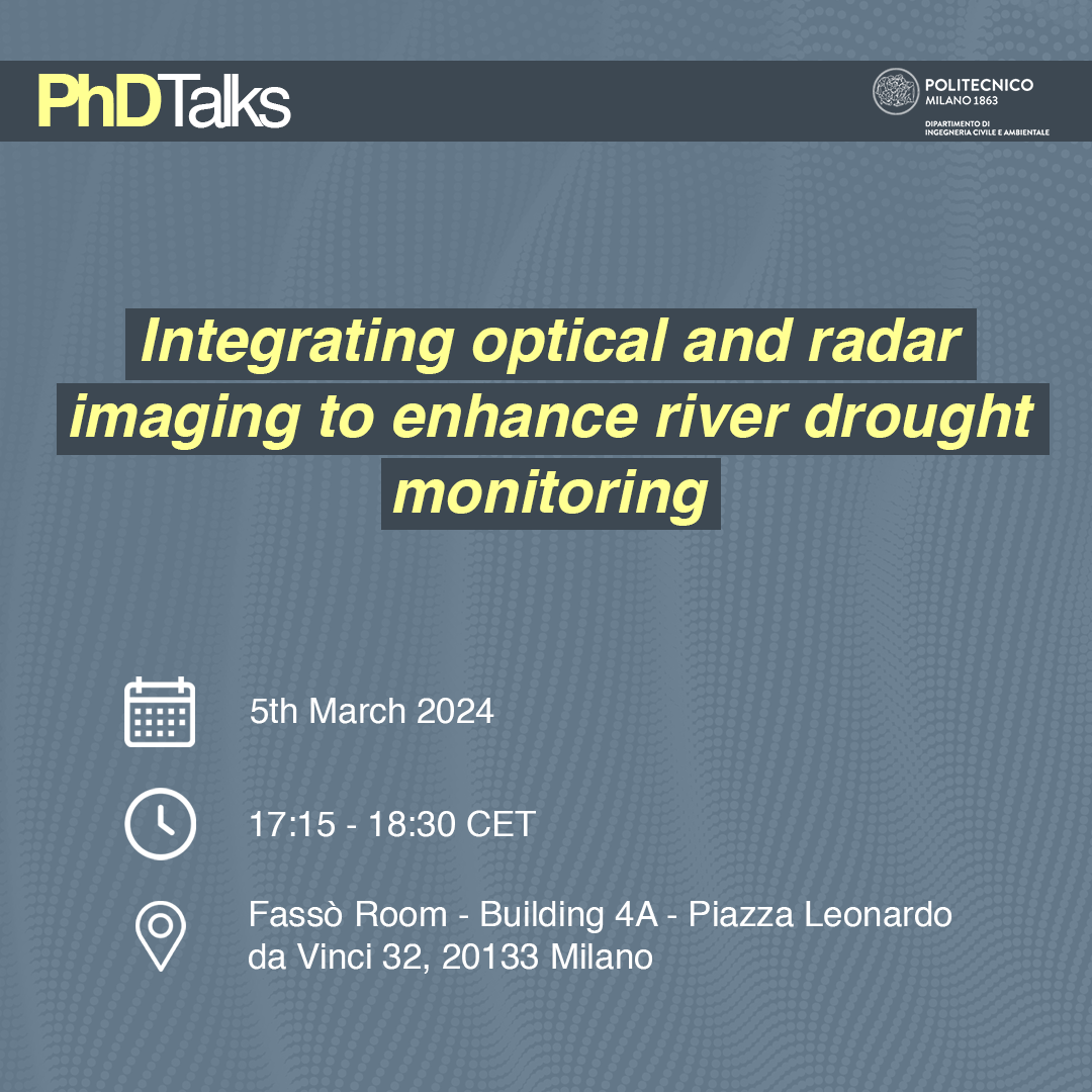
Our next PhDTalks Seminar will be held on tuesday 5th march in Fassò Room (Building 4A), from 5:15 pm to 6:30 pm CET.
PhDTalks is a series of seminars and discussions between PhD students. The events are aimed at providing a place to network and get in contact with many of the projects developed in our department.
Speaker Stefano Conversi will talk about “Integrating optical and radar imaging to enhance river drought monitoring”.
At the end of each event a small refreshment funded by the department will be available.
You can watch the event online by clicking here.
Abstract
Drought events are growingly affecting European and Italian territories, hampering local environments and biodiversity, such as the ones relying on rivers for their subsistence. Monitoring of rivers is becoming an important issue to face drought crisis and may be exploited with different tools. Among the most commons, satellite imagery is exploited to map water coverage, basing on optical or radar sources. This work proposes a combination of the two sensors to overcome possible limitations of the single dataset exploitation, reaching a reliable result. The methodology is applied to a stretch of Po River in Lombardy region (Italy). Through Google Earth Engine platform, optical satellite Sentinel-2 and radar satellite Sentinel-1 data are processed. The combination of the radar data and of the optical spectral indices is carried out through a pixel-based supervised classification, with a Random Forest classifier. Maps of water coverage are obtained, numerical outcomes of water surface evaluation are recorded and validated by the mean of reference hydrometric data. A multitemporal analysis is then reported, aiming to prove the efficiency of the procedure. All iterations show reliable accuracies and correlation among water surface estimation and water table measurements in two sections of interest. In perspective, the proposed methodology will be implemented in tools for supporting drought monitoring to be integrated in environmental public administration policies.
Speaker’s bio
Stefano is a PhD Student in Environmental and Infrastructure Engineering, within the Geodesy and Geomatics section. In 2021 he obtained the Master degree in Civil Engineering for Risk Mitigation at Politecnico di Milano. Currently he is part of the Innovazione project supported by Politecnico and Regione Lombardia, for which he collaborates with the Operative Unit for management and preservation of Biodiversity.D Stefano likes to spend his free time travelling, attending live concerts and baking.
