

- This event has passed.
Open Data Day – “Mapping Climate Change in 4D: Belvedere Glacier’s Open Geo Data for Education and Research”
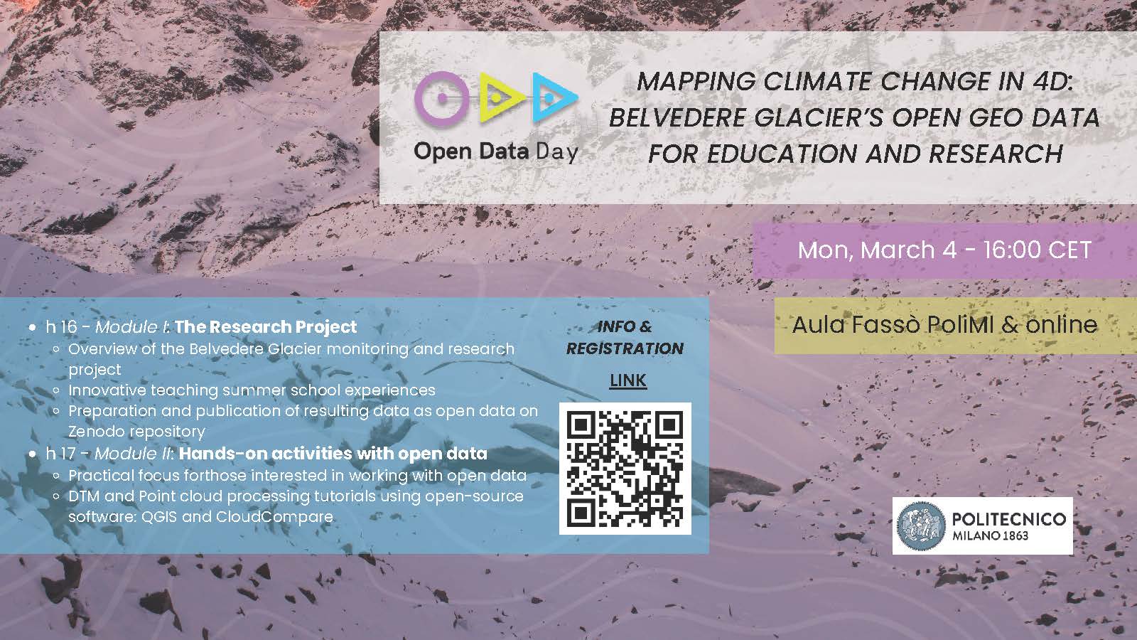
March 4 @ 16:00 - 19:00
Open Data Day (ODD) is an annual celebration of open data all over the world (https://opendataday.org/). This year, ODD will take place in the week between March 2-8, 2024.
The Laboratory of Geodetic and Photogrammetric Measurements (LabMGF) of the Department of Civil and Environmental Engineering (DICA, Politecnico di Milano), will take part in ODD with the webinar Mapping Climate Change in 4D: Belvedere Glacier’s Open Geo Data for Education and Research.
The webinar will introduce the geospatial open data of the Belvedere Glacier (Italian Alps) with UAV and aerial photogrammetry during the long-term monitoring campaign carried out by the DICA department, in collaboration with the DIIATI department of Politecnico di Torino and Alta Scuola Politecnica.
The event aims to: (i) showcase and promote the utilization of the open data acquired on the Belvedere Glacier acquired by our research laboratory and accessible on Zenodo (https://zenodo.org/records/7842348); (ii) conduct an innovative teaching workshop dedicated (but not restricted to) at students of the GIS course at Politecnico di Milano with raster data and point cloud processing using real data from an alpine glacier, which is experiencing an extreme retreat due to climate change.
The webinar will take place on March 4th at 16:00 in Aula Fassò (Building 4A) at Politecnico di Milano, with online streaming available for remote participation. An aperitivo will follow the event at around 19.00, for whom will take part to the event in person.
To participate, kindly register by filling out the form: https://forms.office.com/e/xmywR9kZdp
Upon registration, you will receive the necessary details to access the live meeting.
Agenda:
Module 1: Introduction (Duration: Approximately 1 hour):
- Overview of the Belvedere Glacier monitoring and research project
- Presentation of the innovative teaching experience of the Summer School “Design and Implementation of Topographic Surveys for Territorial Monitoring in Mountain Environments” for BSc and MSc students and carried out at the Belvedere Glacier since 2016.
- Preparation of results of the long-term monitoring campaign of the Belvedere Glacier and of the open data publicly available in the Zenodo repository
Module 2: Hands-on workshop (Duration: Approximately 1.5 hours)
- Practical focus for students and those interested in working with open data
- DTM and Point cloud processing tutorials using open-source software: QGIS and CloudCompare
This webinar promises to provide a comprehensive understanding of climate change mapping, combining theoretical insights with practical, hands-on experience. Whether you are a researcher, student, or anyone enthusiastic about the intersection of climate change and geo data, this event is tailored for you.
We look forward to your participation in this enlightening session.