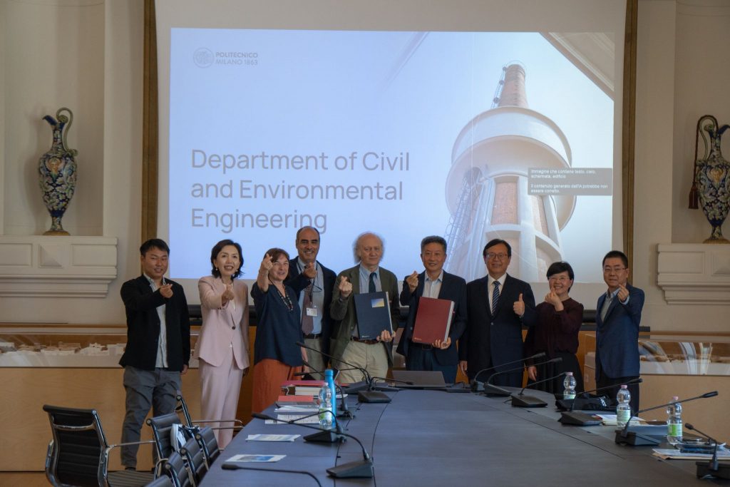
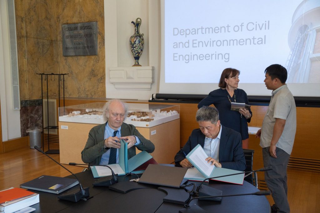
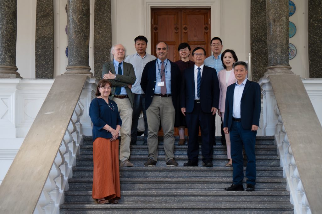
The Department of Civil and Environmental Engineering (DICA) of Politecnico di Milano is pleased to announce a new collaboration with the Moganshan Geospatial Information Laboratory (MGIL), bringing the two institutions together to work in some of the most strategic fields for the future of our planet.
The agreement establishes cooperation in areas of common interest, including Geospatial Information Science, Earth Observation technologies, GeoAI, and the emerging fields that are redefining the way we observe and manage our territory. This is a partnership that goes beyond research: together, DICA and MGIL will develop concrete projects aimed at advancing the United Nations Sustainable Development Goals (SDGs).
The laboratory is based in Deqing, in Zhejiang Province, a hub that has established itself as an international reference point for geospatial information. Deqing is also home to the United Nations Global Geospatial Knowledge and Innovation Centre (UN-GGKIC), a United Nations office established by the Department of Economic and Social Affairs and operating under the guidance of the UN Statistics Division, within the framework of the Committee of Experts on Global Geospatial Information Management (UN-GGIM).
The Centre works towards the implementation of the United Nations Integrated Geospatial Information Framework (UN-IGIF), with the goal of strengthening the capacities of Member States — particularly developing countries — in geospatial information management, while promoting innovation, knowledge sharing, and cooperation. It is within this advanced ecosystem that the collaboration between DICA and MGIL takes shape, confirming the Department's international vocation and its commitment to the global challenges of sustainability.