
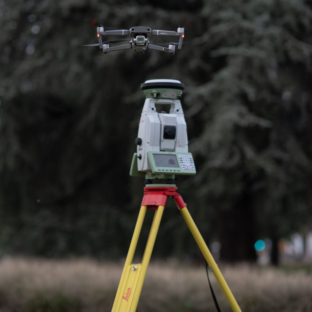
The laboratory focuses on the following main activities:
- High-precision positioning:
- Static and kinematic using conventional surveying instruments
- Use of GPS/GNSS satellite instrumentation
- Application of RGB/RGB-D cameras for high-precision surveys
- Monitoring of structures and infrastructures:
- Continuous monitoring of territory
- Detection of Crustal deformations with systems GPS/GNSS
- Application of advanced photogrammetric techniques
- 3D modeling and cartographic representation:
- Three-dimensional modeling of objects, structures, and infrastructures
- Thematic and cartographic representation of soil, vegetation, and territory
- Use of RGB/NIR cameras mounted on various platforms, including UAV (drones)
- Design and development of geographic information systems (GIS):
- Design and development of topographic databases
Testing during construction of geographic information systems for geospatial applications
